Cloudy with a chance of meningitis: Using the weather to predict outbreaks in Africa
A group of groundbreaking African researchers are using weather patterns to predict meningitis outbreaks across the continent’s meningitis belt. Could this approach work for other killer diseases?
- 10 May 2022
- 6 min read
- by Linda Geddes
And now for the latest forecast: Very dry atmospheric conditions will remain over the meningitis belt of sub-Saharan Africa for the next two weeks. These atmospheric conditions, associated with forecasted wind, predict favourable conditions for dust-lifting over the Bodele depression and the Sahara.
Meningitis outbreaks are likely over northern Niger, north-eastern Mali, and central Chad. Meningitis cases are very likely over much of Chad, northern and western Sudan, extreme southern Algeria, central and northern Mali, Niger, north-eastern Nigeria, northern Burkina Faso, extreme northern Cameroon, northern and western Mauritania, and eastern Senegal. They are less likely over the rest of the meningitis belt.
“If we can produce calibrated forecast data on what will be happening for the next two weeks, we can give an early warning to governments and health services [...] It means they have a window to get ahead of the disease.”
Most of us are familiar with the idea that some diseases follow seasonal patterns: Influenza tends to strike in winter, chickenpox in the spring, while outbreaks of cholera and malaria often occur with the onset of the rainy season.
Over the past few years, though, the African Centre of Meteorological Applications for Development (ACMAD) in Niamey, Niger, has been piloting an early warning system that uses past meteorological data to issue a map of where local meningitis outbreaks are expected on a weekly basis, providing health agencies with time to activate emergency response plans in affected areas. In the future, a similar approach could potentially be applied to other diseases such as Lassa fever or malaria.
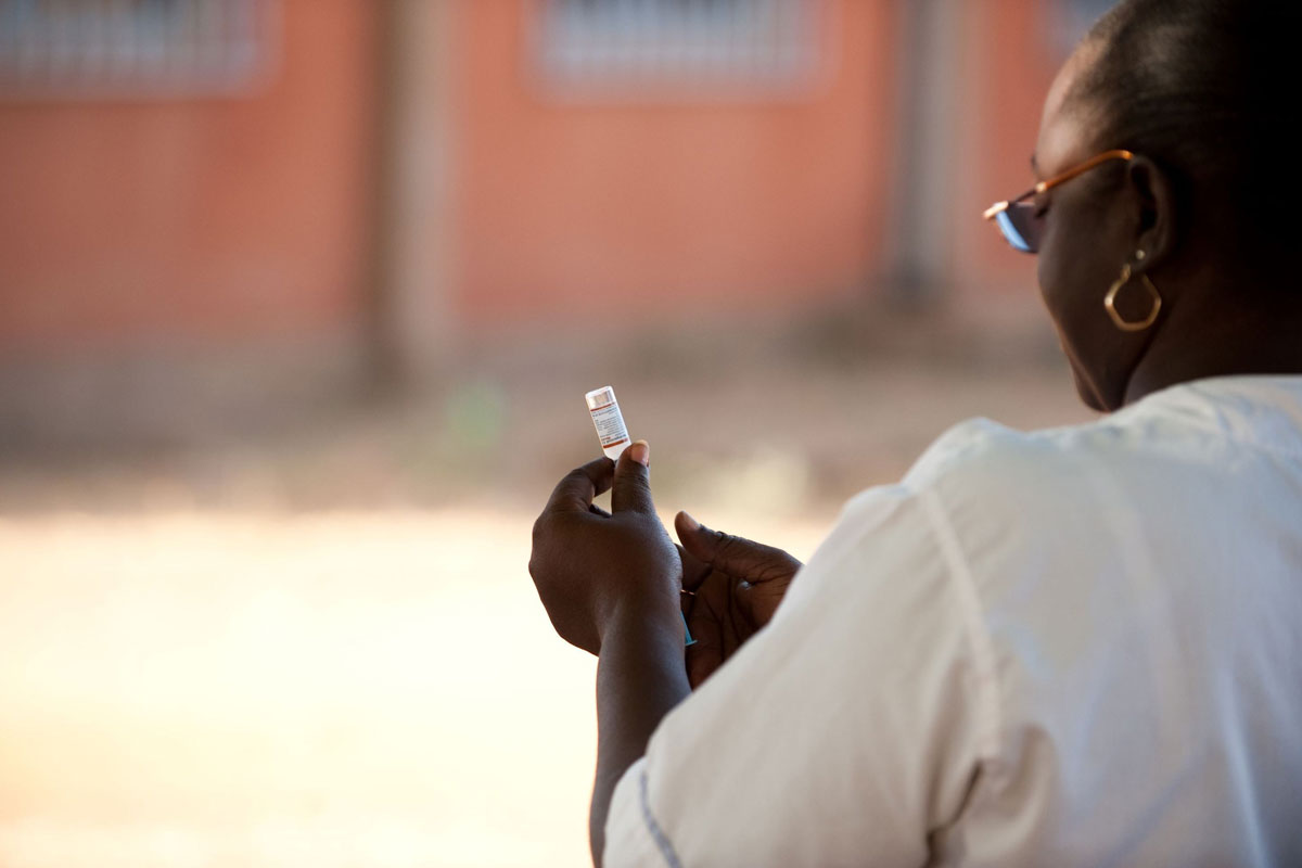
Meningitis is an infection of the meninges – the membrane surrounding the brain and spinal cord. The highest burden of disease is seen in the African Meningitis Belt, a region of sub-Saharan Africa that stretches horizontally from The Gambia and Guinea on the west coast, to parts of Ethiopia, Eritrea, and Northern Kenya in the east.
The disease is generally more common here during the dry season, which stretches from December until June, but its incidence rises dramatically in hot, dry and dusty weather – because dust can irritate the lining of people’s airways, making it easier for bacteria to break into the bloodstream and travel to the meninges.
Dr Cheikh Dione had been studying the thermodynamical processes involved in thunderstorm and low-level cloud development over West Africa, when he became involved in the African Science for Weather Information and Forecasting Techniques (SWIFT) project, which aimed to build capacity for African weather and climate forecasters and improve scientific knowledge on the drivers of the African climate variability and impact. He was intrigued by the idea of developing a framework with health services to predict disease outbreaks – particularly meningitis.

Have you read?
“We knew that this association existed; the difference is that we are now predicting outbreaks into the future,” Dione said. “If we can produce calibrated forecast data on what will be happening for the next two weeks, we can give an early warning to governments and health services, including the WHO Regional Office for Africa, meaning they can use this information in their plans. It means they have a window to get ahead of the disease, and to be more effective in their response.”
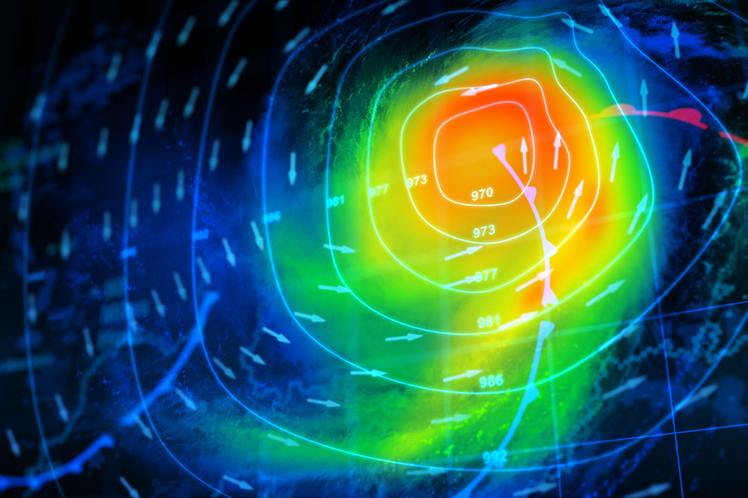
To generate the early warnings for meningitis, the team combines forecast data on temperature, relative humidity, and surface dust concentration, across the African meningitis belt, to create a kind of “heat map” identifying those areas where atmospheric conditions will be ideal for an outbreak or sporadic meningitis cases to occur.
Climate and weather data have the potential to not just help predict heatwaves and floods, but to help health services to reduce lives losts due to climate sensitive diseases across Africa.
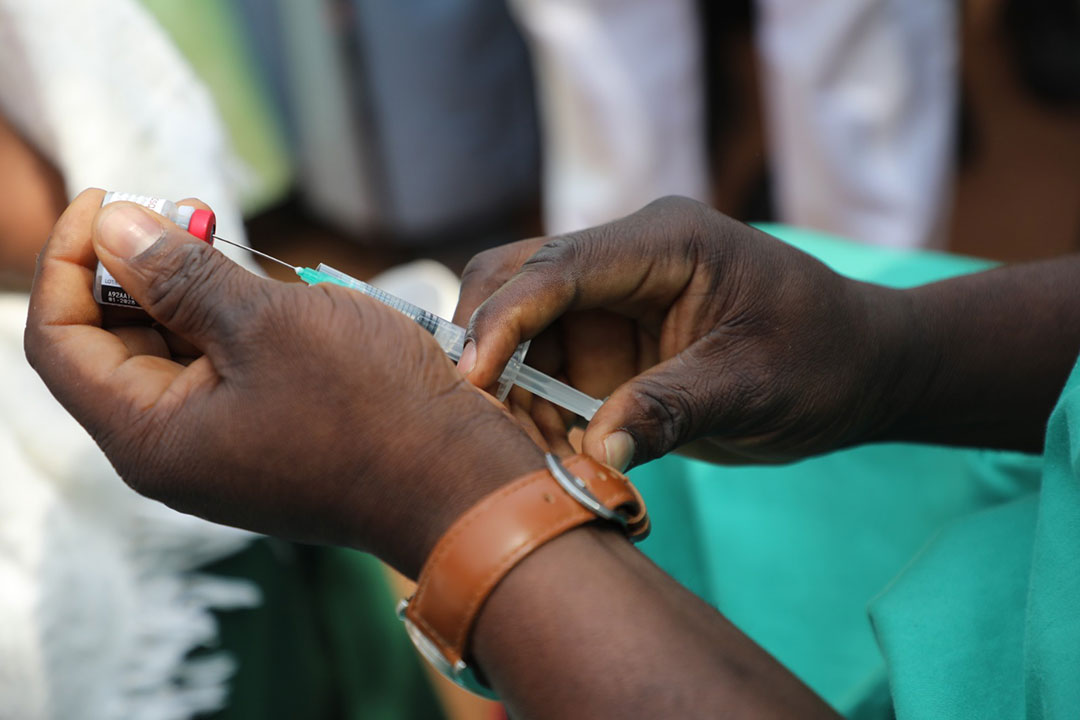
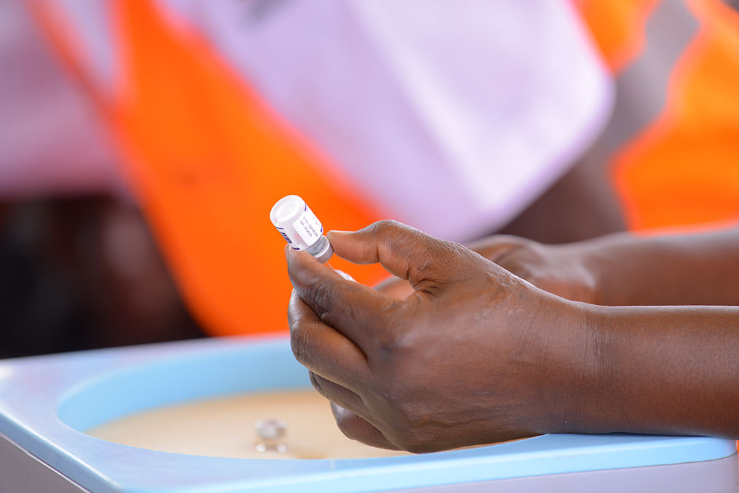
Red patches indicate areas where meningitis cases are very likely and epidemics a possibility – meaning surveillance should be strengthened and additional resources for dealing with outbreaks deployed to those areas. Bacterial meningitis can be treated with antibiotics, once the causative pathogen has been identified, but laboratories need to be put on standby to deal with an increase in testing, and health organisations may need to launch a mass immunisation campaign if an outbreak turns into an epidemic.
Areas marked orange on the map indicate favourable conditions for the emergence of meningitis cases – suggesting meningitis surveillance systems should be activated, and laboratories put on standby. Yellow patches indicate areas where meningitis outbreaks are less likely.
“The forecasts are produced every Monday from Week 1 to 26 of the year, which is the meningitis season, and sent to WHO AFRO, who share it with their technical support partners and national health services,” said Dione. “For example, at the moment, we are having some outbreaks in southern and western Niger, and we are expecting some cases over the regions of Maradi and Zinder because for several weeks we have had an orange or red vigilance warning there.”
The system has proved particularly useful in predicting meningitis cases in the African meningitis belt (across northern the Gulf of Guinea countries, Sahelian countries and western East Africa) since its launch in November 2019. However, difficulties obtaining dust forecasts over certain regions of Central, East and Southern Africa mean that some weaknesses remain in these regions.
In the future, Dione hopes that the weather and climate models could be further improved to predict atmospheric conditions around the world. “It will be possible to improve the work by predicting the number of meningitis cases to be expected in the coming weeks,” he said.
Dione recently left the SWIFT project to take up a position at Institut Pierre Simon Laplace in Paris, France, to improve the nowcasting of fog. However, the work on disease forecasting continues, and his former colleagues are hoping to expand the system to include malaria and Rift Valley fever.
Rift Valley fever is a viral haemorrhagic disease transmitted through contact with blood, body fluids, or tissues of infected animals, or being bitten by infected mosquitoes. “Based on the link already established between above normal precipitation over East and Southern Africa during the oscillation phase of the El Niño and Southern Oscillation (ENSO) and the occurrence of this disease, operational centres now have the opportunity to the develop an early warning system for Rift Valley Fever based on precipitation forecasts and satellite data,” said Dione.
Further ahead, he believes similar systems could be developed to help predict outbreaks of other climate-sensitive diseases in different geographic regions. “For example, in West Africa, we also have Lassa fever, with is now documented as a climate or environment sensitive disease linked to climate change and changes in land use,” Dione said. “Lassa fever occurs during the dry season mostly in Nigeria, Sierra Leone, and Guinea and is associated with past year rainfall anomalies, and there’s some speculation that yellow fever outbreaks could be predicted.” Research into this area is ongoing, he added.
All of this will require much more work, but climate and weather data have the potential to not just help predict heatwaves and floods, but to help health services to reduce lives lost due to climate sensitive diseases across Africa.